 Electoral Area C (Fort St. James Rural)
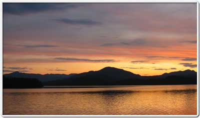
Electoral Area C (Fort St James Rural) is the rural area surrounding the District of Fort St James. The unincorporated communities within the area are Germansen Landing, Leo Creek, Takla Landing, and Trembleur. The area is the gateway to a chain of rivers and lakes that traverse 400 kilometres of central British Columbia. The population of the Fort St. James area, including the municipality itself, rural areas and First Nations, is approximately 4,500 people. There is an established forest industry, a growing mining and tourism sector.
Regional District of Bulkley-Nechako Elected Representative

|
Director Judy Greenaway |
37 3rd Avenue
Burns Lake, BC V0J 1E0
Phone: (250) 692-3195
Toll Free: (250) 692-3305
Fax: (250) 692-3305
Website: www.rdbn.bc.ca
Local First Nations
Tl'azt'en Nation
Binche Whut'en
Nak'azdli Whut'en
Takla Nation
Yekooche
Fort St. James and Surrounding Area Profile
Electoral Area C (Fort St. James Rural) Population: 1,266
*2021 Census Data
Electoral Area C (Fort St. James Rural) Boundaries
|
Southern Boundary (Hwy 27)
|
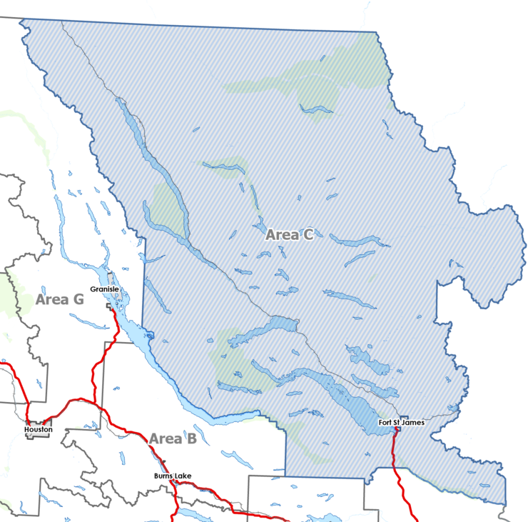 |
Northern Boundary
|
Local services provided by the RDBN in Electoral Area C (Fort St. James Rural)
| Building Inspection |
| Building Numbering |
| Development Services |
| Economic Development |
| Electoral Area Planning |
| Emergency Preparedness and Services |
| Grants-in-Aid |
| General Government Services |
| 9-1-1 |
| Feasibility Studies |
| Liquid/Solid Waste Disposal |
| Fort St James Library Grant |
| Rural Fire Protection |
| Rural Government Services |
| Weed Control |
| Fort St James Arena Grant |
| Pump and Haul Sewer Disposal |
| Television Rebroadcasting |
| Street Lighting – Colony Point |
| Planning and Zoning |